-
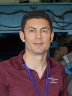
Sorin Popescu
- Professor
- Office:
- WFES 334
- Email:
- [email protected]
- Phone:
- (979) 862-2614
- Resume/CV
- Website: https://lasers.tamu.edu/
Education
- Undergraduate Education
- Diploma Degree, Transylvania University, Forest Engineer
- Graduate Education
- Ph.D. Forestry, Virginia Polytechnic Institute and State University
- Postdoctoral Study, Forestry, Virginia Polytechnic Institute and State University
Areas of Expertise
Dr. Sorin C. Popescu’s research area is in remote sensing of the environment, with a specialty in laser or lidar remote sensing of vegetation structure, Unmanned Aerial Systems (UAS/UAV), sensors and algorithmic methodologies to derive vegetation biophysical parameters and three- dimensional structure, including biomass, carbon, and fuels and fire risk. He has developed innovative methods of remote sensing data processing and authored highly cited peer-reviewed publications and book chapters. He serves as Principal Investigator on a National Aeronautics and Space Administration (NASA) Science Team for the Ice, Cloud and land Elevation Satellite-2 (ICESat 2) satellite Lidar mission.
Professional Summary
Dr. Sorin Popescu’s academic interests focus on the application of remote sensing, in particular, and spatial sciences, in general, in natural resources assessment, monitoring, and management. He obtained his Ph.D. degree in Forestry at Virginia Tech. At Texas A&M University, he is currently teaching undergraduate and graduate courses in aerial photography, image interpretation, and remote sensing. His research interests include remote sensing applications in natural resources and forest sciences, assessment of forest fuels, forest volume and biomass, land use and land cover change, forest carbon sources and sinks, and global environmental change. He has developed various algorithms and software tools for multisensor data fusion and for processing LIDAR data for estimating forest biophysical parameters, such as stand density, tree height, crown diameter, volume, and biomass. Visit his personal web page for more information on recent projects and publications.